Just like it did in 2006. /sarcasm
Posted on 06/26/2008 8:41:55 PM PDT by navysealdad
Just like it did in 2006. /sarcasm
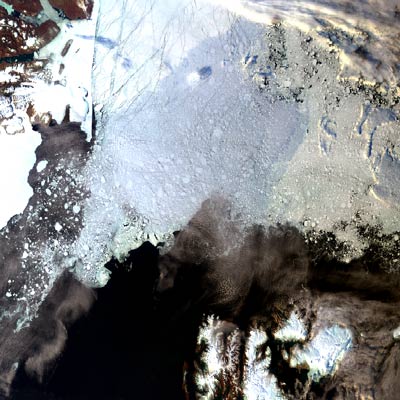
Yes - we have a daily satellite record of the North Pole ice only since 1980.
South Pole, too, I assume, because polar pictures require a north-south orbit.
It's possible there are ice pictures from earlier satellites with highly eccentric east-west orbits, but no comprehensive daily photographic record of polar ice before 1980.
Satellite temperature data goes back only to about 1975, but coverage of land and sea are different, and coverage of various parts of the atmosphere are different, so there are different data for different satellites launched at different times.
Interesting link, thanks for posting.
When I dial it back to February, it look like there is more ice this year than 1980.
Well, there are places were the sea level is falling, typically (in theory) because of plate techtonics. In fact, the the sea level in the Artic is falling, and I don't think anyone really knows why.
Disclaimer: Opinions posted on Free Republic are those of the individual posters and do not necessarily represent the opinion of Free Republic or its management. All materials posted herein are protected by copyright law and the exemption for fair use of copyrighted works.