
Posted on 09/04/2017 2:02:19 PM PDT by NautiNurse
While thoughts and prayers are with our Texas FRiends and neighbors, we are at the peak of the Atlantic Tropical Storm season. Hurricane Irma continues its trek from Cape Verde across the pond and toward the Hebert Box (see below). People with interests in the Southeastern U.S. and Gulf of Mexico should be alert to the forecast path updates for this powerful storm. It is important to note that the average NHC track errors are about 175 and 225 statute miles at days 4 and 5, respectively.
Hurricane Irma originally had a small wind field. In the past 24 hours, however, the wind field has expanded with hurriance force winds up to 40 miles from the center, and tropical storm force winds up to 140 miles from the storm center.
FL Governor Rick Scott reminds Floridians: Families should take time today to make sure you have a disaster plan and fully-stocked Disaster Supply Kit. Florida residents from West Palm Beach to Tampa Bay are heeding the alert. Store shelves are emptying of bottled water.


Mash image to find lots of satellite imagery links
Public Advisories
NHC Discussions
NOAA Local Weather Statements/Radar San Juan, Puerto Rico
NHC Local Weather Statements/Radar Miami, FL
NHC Local Weather Statements/Radar Key West, FL
Buoy Data Caribbean
Buoy Data SE US & GOM

Hebert Box - Mash Pic for Tutorial
Credit: By J Cricket - Modification of map from Wiki
Yours is the attitude.
Climate change nonsense is not weather forecasting.
But since you clearly conflate the two, I don’t see nay reason to take anything you say seriously.
As far as the *I was just joking* excuse.
Yeah, I’ve heard that one before when someone is called out on their ignorance.
And if the storm is forecast to take that track 3 days out, it means much of the Florida Peninsula will be evacuating. Nightmare. Let’s hope for a stronger-than-expected trough to send it north and then east sooner rather than later.
I don’t see how we can escape from getting some of it but first the spaghettis were east of us now they are west. I don’t think an exact track is available yet.
Just got off the phone with my son-in-law in Sugarloaf,(the county starts evac of the Keys tomorrow) we are going to wait until wed. night to see what this thing will do.
Thanks for the heads up.
I am taking this opportunity to place PROZAC salt licks throughout the room....it appears we are going to need them!!!!!!!
Chocolate suffices for most of us but that might take care of the rest.
Are you serious? It's heading into MUCH warmer water.
![]()
Go start a fight with yourself. I am not interested. Bye.
I notice one of the model spaghettis has them splitting. Half go up the east coast of fl, half go approximately into the GOM. Can we have choice ‘c’, ‘neither a nor b’?
https://www.local10.com/weather/hurricane/florida-keys-prepare-for-evacuations-should-irma-threaten
If Irma threatens the Keys, shelters will not open in Monroe County if the storm is a Category 3 or stronger, as expected.
not correct...
the waters are not only warmer but the depth of that warm water is deeper....
and going into night has nothing to do with the winds not increasing..
the pressure has leveled off...now at 945 mb....the eye wall replacement is still going .....once it is complete it will start to strengthen again
I just retired to SW Florida from Jersey. This will be my first FlorIda hurricane. I got through 911, blackouts, blizzards and hurricane Sandy. Commuting to NYC in the aftermath of each of those events was a nightmare. I hear stories from neighbors about how bad Charlie was.
Hurricane Irma Intermediate Advisory Number 22A
NWS National Hurricane Center Miami FL AL112017
800 PM AST Mon Sep 04 2017
...DANGEROUS HURRICANE IRMA HEADING TOWARD THE LEEWARD ISLANDS...
...PREPARATIONS WITHIN THE WARNING AREA SHOULD BE RUSHED TO
COMPLETION...
SUMMARY OF 800 PM AST...0000 UTC...INFORMATION
go to your county office and look up the flash flood and storm surge maps for the street you live on so you understand what areas “could” go under water in certain events.
So does that mean I have off work Thursday and Friday????


This view is too close-in to see Irma until it reaches Cuba -- but, when you click the pic to animate it, note the "river" of Pacific moisture streaming eastward across Mexico and the Gulf. Maybe that will help push Irma east of FL. OTOH, that red blob of moisture forming off of Mexico is labeled in NautiNurse's first graphic as a "Tropical Disturbance". Wherever that thing meets up with Irma ,things could get interesting...
~~~~~~~~~~

This wide satellite composite shows both Irma, and the stream of Pacific moisture flowing eastward across the Gulf. It also shows that the "Tropical Disturbance" in the western gulf may be pooping out...
As always, my go-to site for storms!
Thank you so much from jacksonville, fl
Agree...Naughty Nurse IS THE BEST!
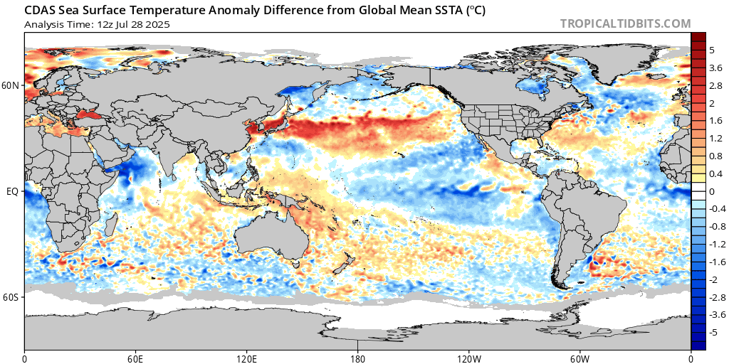
“the waters are not only warmer but the depth of that warm water is deeper....” Those darn anomalies: https://www.tropicaltidbits.com/analysis/ocean/cdas-sflux_ssta_relative_global_1.png
“and going into night has nothing to do with the winds not increasing..” Ya right, when the Sun comes up, Hurricanes intensify. When the Sun goes down, they weaken. Only been happening since we have been able to monitor such events. I might even go out on a limb and say, since the beginning of time.
Great to see you! Thanks for checking in during another silly season.
Disclaimer: Opinions posted on Free Republic are those of the individual posters and do not necessarily represent the opinion of Free Republic or its management. All materials posted herein are protected by copyright law and the exemption for fair use of copyrighted works.
