Skip to comments.
The Iraqi Connection
The Wall Street Journal ^
| 13 September 2001
| Laurie Mylroie
Posted on 09/14/2001 4:41:01 AM PDT by John Valentine
Edited on 04/23/2004 12:03:31 AM PDT by Jim Robinson.
[history]
Whether Osama bin Laden was involved in Tuesday's terrorist assault remains to be seen. Yet if that proves to be so, it is extremely unlikely that he acted on his own. It is far more likely that he operated in conjunction with a state--the state with which the U.S. remains at war, namely Iraq.
(Excerpt) Read more at opinionjournal.com ...
TOPICS: Editorial; News/Current Events
KEYWORDS: mylroie
Ms. Mylroie is very credible and no less than Admiral James Woolsey takes her very seriously indeed. See my further posts on this subject.
1
posted on
09/14/2001 4:41:01 AM PDT
by
John Valentine
(john@valentines.org)
To: John Valentine
I'll bet the farm that Saddam is behind this.
2
posted on
09/14/2001 4:47:03 AM PDT
by
AppyPappy
To: John Valentine
<
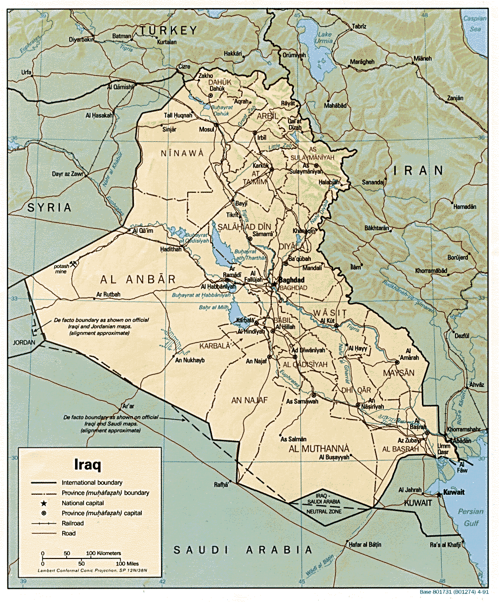
Country Maps
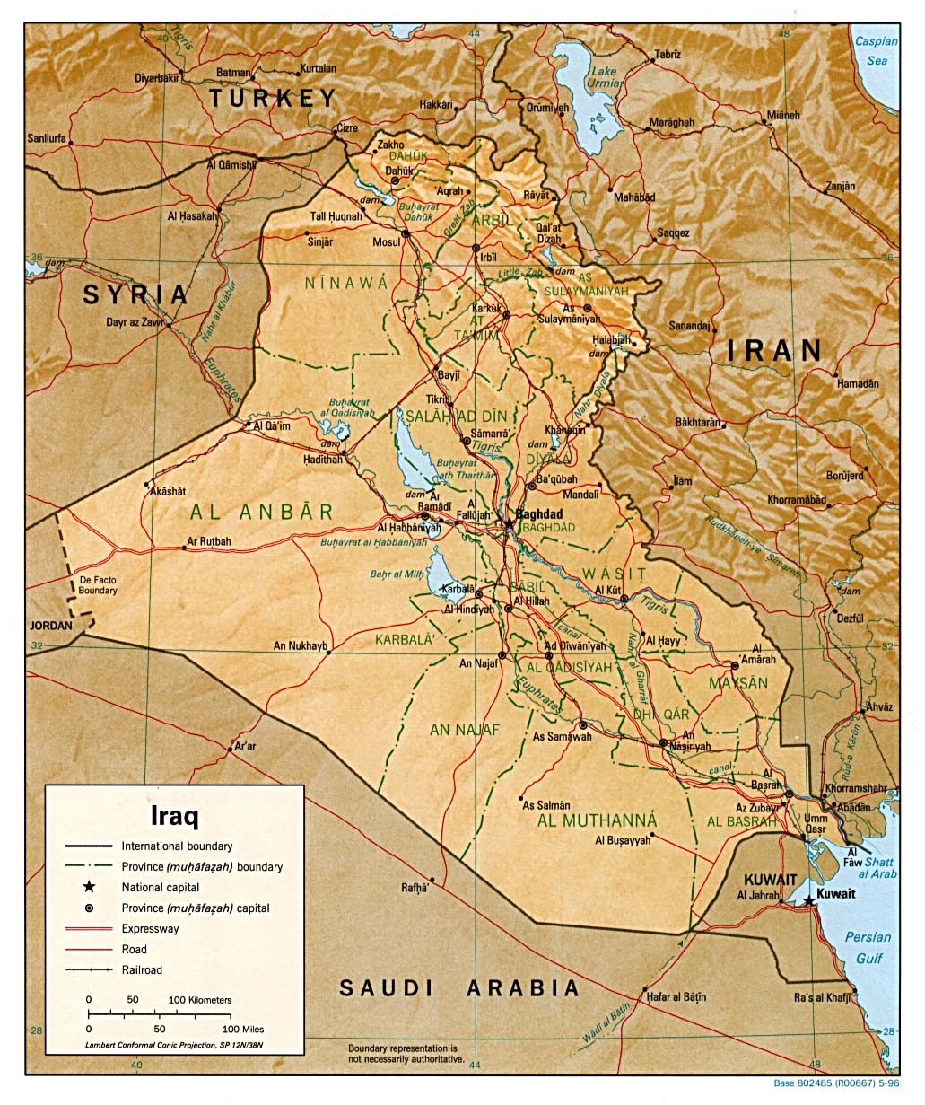
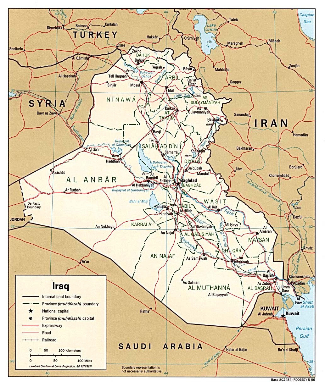
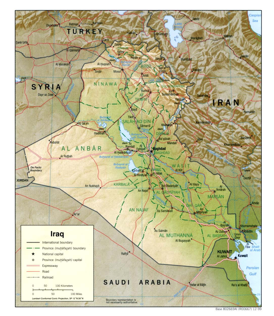
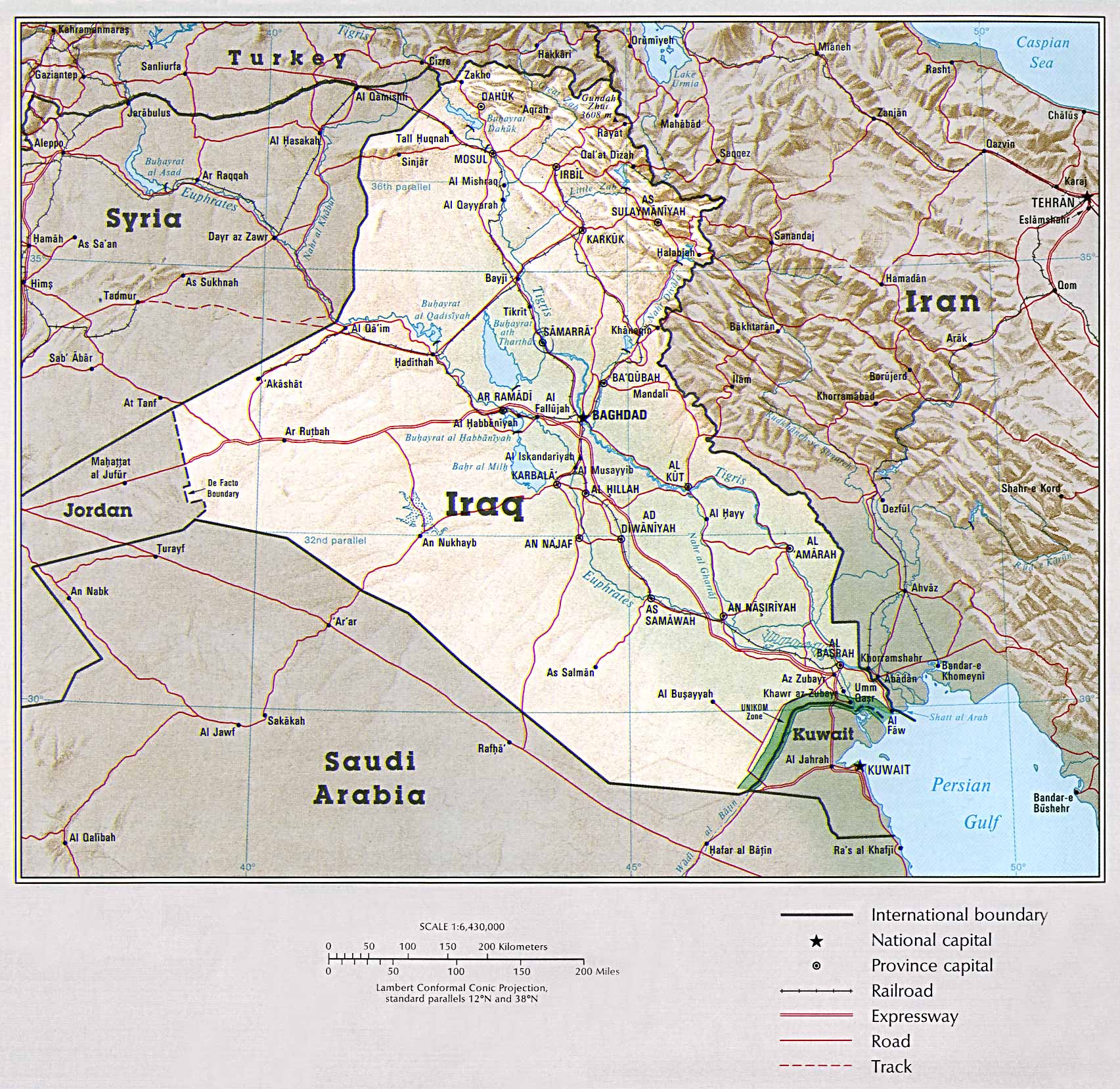
- Iraq (Political) 1999 (323K)
- Iraq (Political) 1996 (295K)
- Iraq (Shaded Relief) 1999 (323K)
- Iraq (Shaded Relief) 1996 (307K)
- Iraq (Shaded Relief) From the CIA Atlas of the Middle East, 1993 (580k)
- Iraq (Shaded Relief) 1991 (377K)
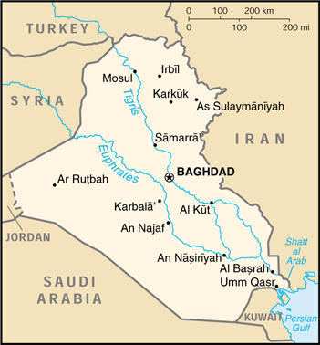
- Iraq (Small Map) 2000 (109K)
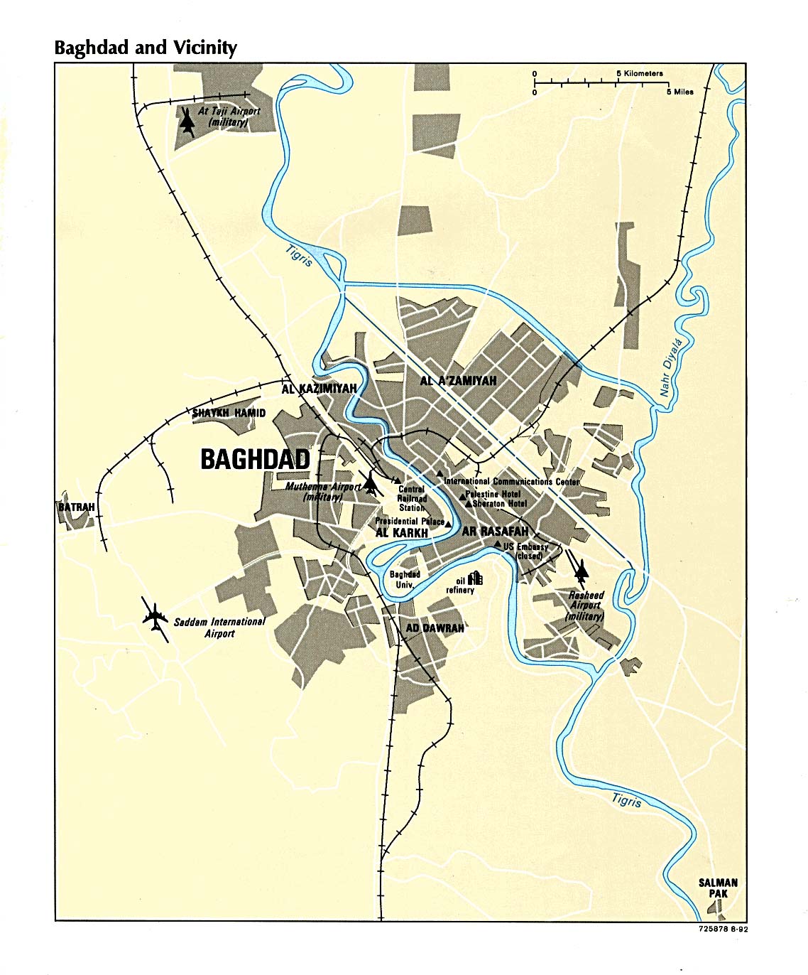
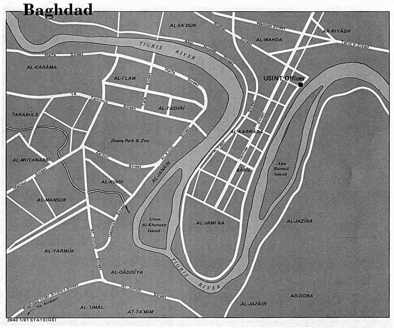
City Maps
Regional Maps
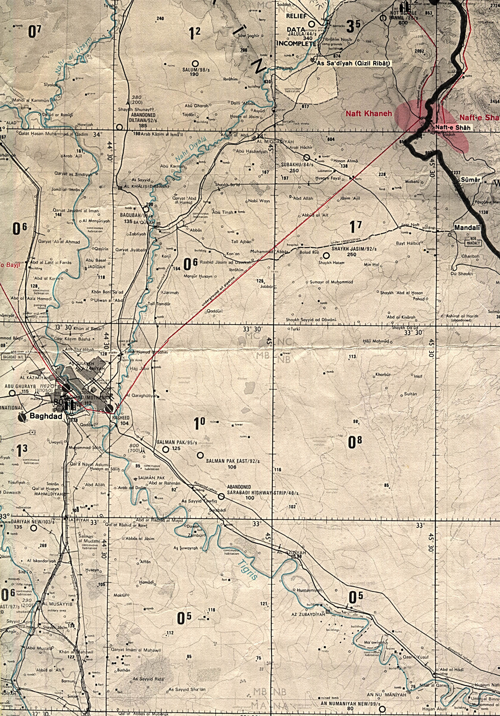
- Al Basrah Region original scale 1:670,000 From Iraq-Iran: Central and Southern Border Areas CIA 1980 (400K)
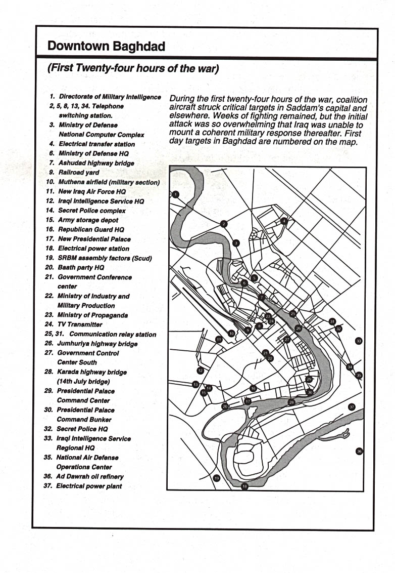
- Baghdad Region original scale 1:670,000 From Iraq-Iran: Central and Southern Border Areas CIA 1980 (1136K)
Tactical Pilotage Charts
- Al Basrah Region (tactical pilotage chart) original scale 1:500,000 Portion of Defense Mapping Agency TPC H-6B 1991 (833K) Not for navigational use
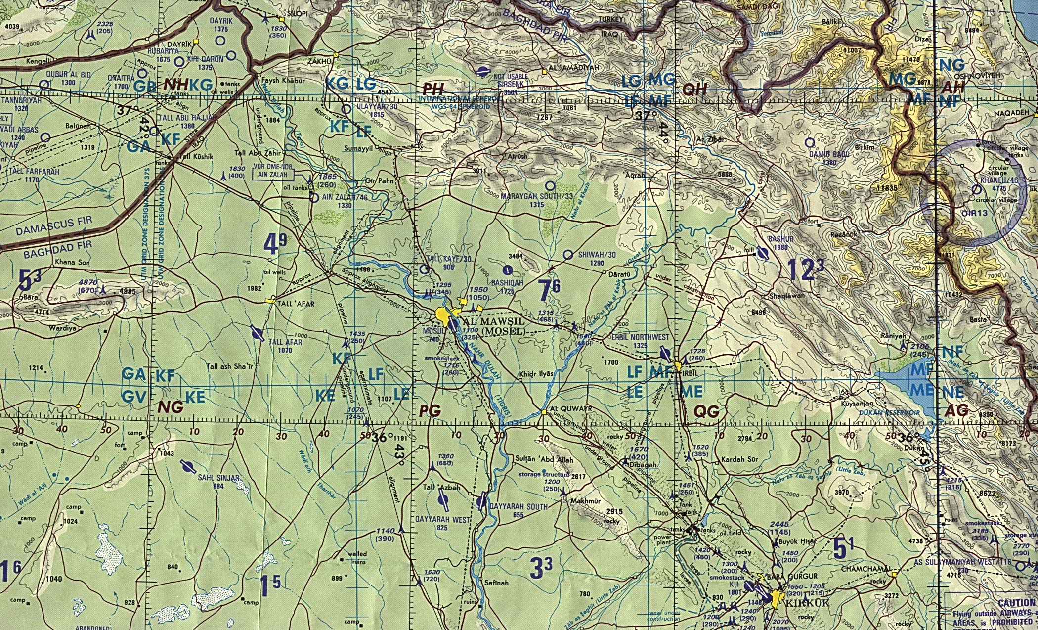
- Al Mawsil [Mosul]-Arbil Region, Northern Iraq (tactical pilotage chart) original scale 1:500,000 Portion of Defense Mapping Agency TPC G-4B 1989 (927K) Not for navigational use
- Baghdad Region (tactical pilotage chart) original scale 1:500,000 Portion of Defense Mapping Agency TPC G-4C 1991 (657K) Not for navigational use
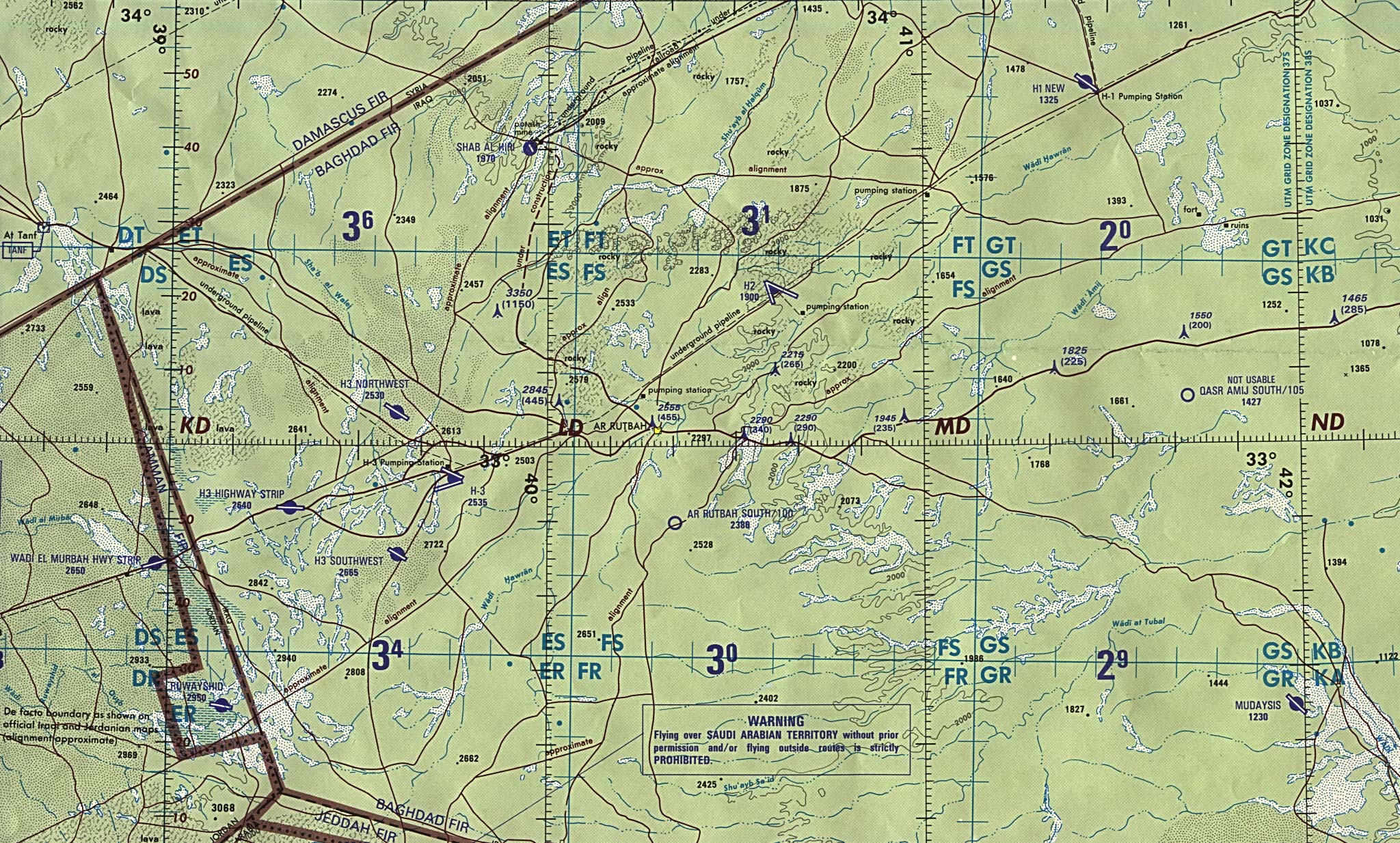
- Husaybah [Qusaybah] and Iraq/syria Border (tactical pilotage chart) original scale 1:500,000 Portion of Defense Mapping Agency TPC G-4C 1991 (638K) Not for navigational use
- Iraq/jordan Border (operational navigation chart) original scale 1:1,000,000 Portion of Defense Mapping Agency ONC G-4 1990 (833K) Not for navigational use
- Kirkuk-Arbil Region (tactical pilotage chart) original scale 1:500,000 Portion of Defense Mapping Agency TPC G-4C 1991 (676K) Not for navigational use
- Northern Iraq (operational navigation chart) original scale 1:1,000,000 Portion of Defense Mapping Agency ONC G-4 1990 (1MB) Not for navigational use
- Sulaymaniyah Region (tactical pilotage chart) original scale 1:500,000 Portion of Defense Mapping Agency TPC G-4C 1991 (721K) Not for navigational use
- Western Kuwait and Neighboring Iraq (tactical pilotage chart) original scale 1:500,000 Portion of Defense Mapping Agency TPC H-6A 1991 (638K) Not for navigational use
Thematic Maps
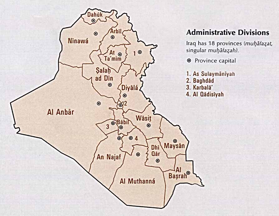
- Iraq: Administrative Divisions From the CIA Atlas of the Middle East, 1993 (69k)
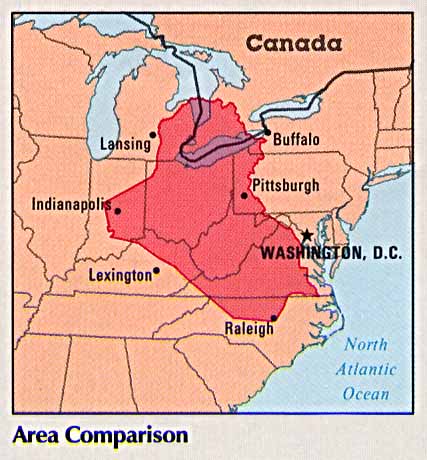
- Iraq: Area Comparison From the CIA Atlas of the Middle East, 1993(38k)
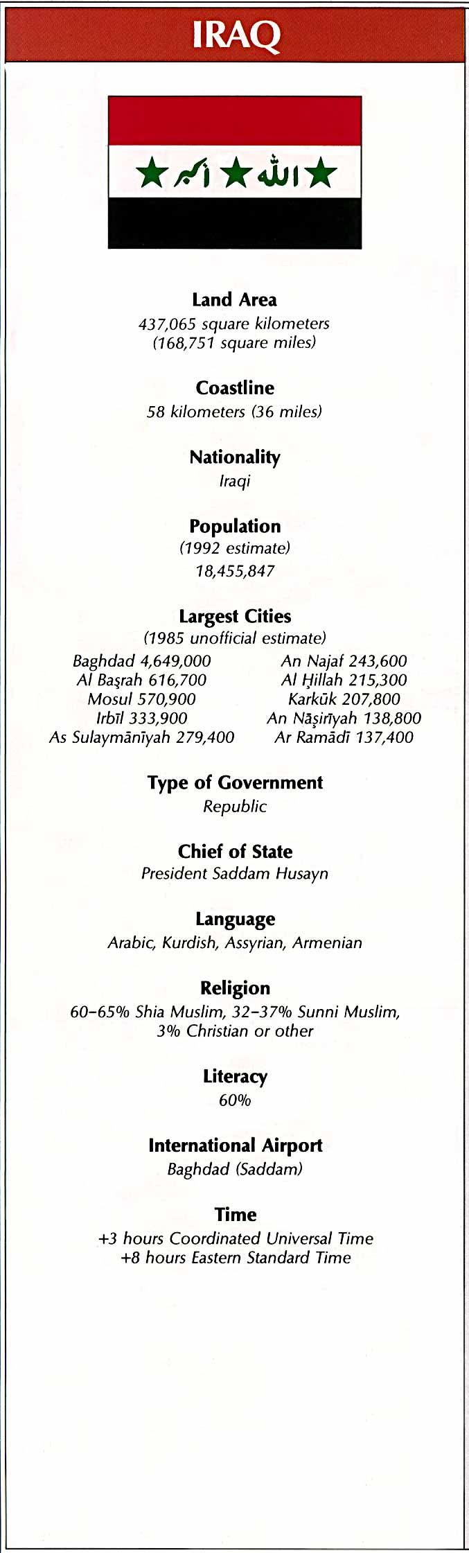
- Iraq: Country Information From the CIA Atlas of the Middle East, 1993 (128k) Flag and statistics, not a map
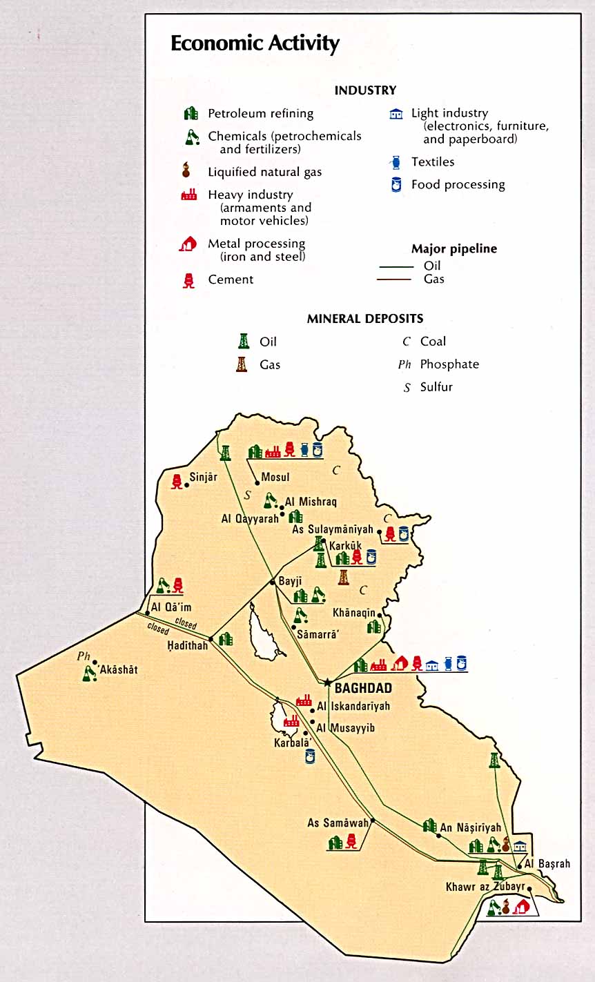
- Iraq: Economic Activity From the CIA Atlas of the Middle East, 1993 (115k)
- Iraq: Former Marshes and Water Diversion Projects in Southeastern Iraq From The Destruction of Iraq's Southern Marshes, CIA Publication IA 94-10020 1994 (243K)
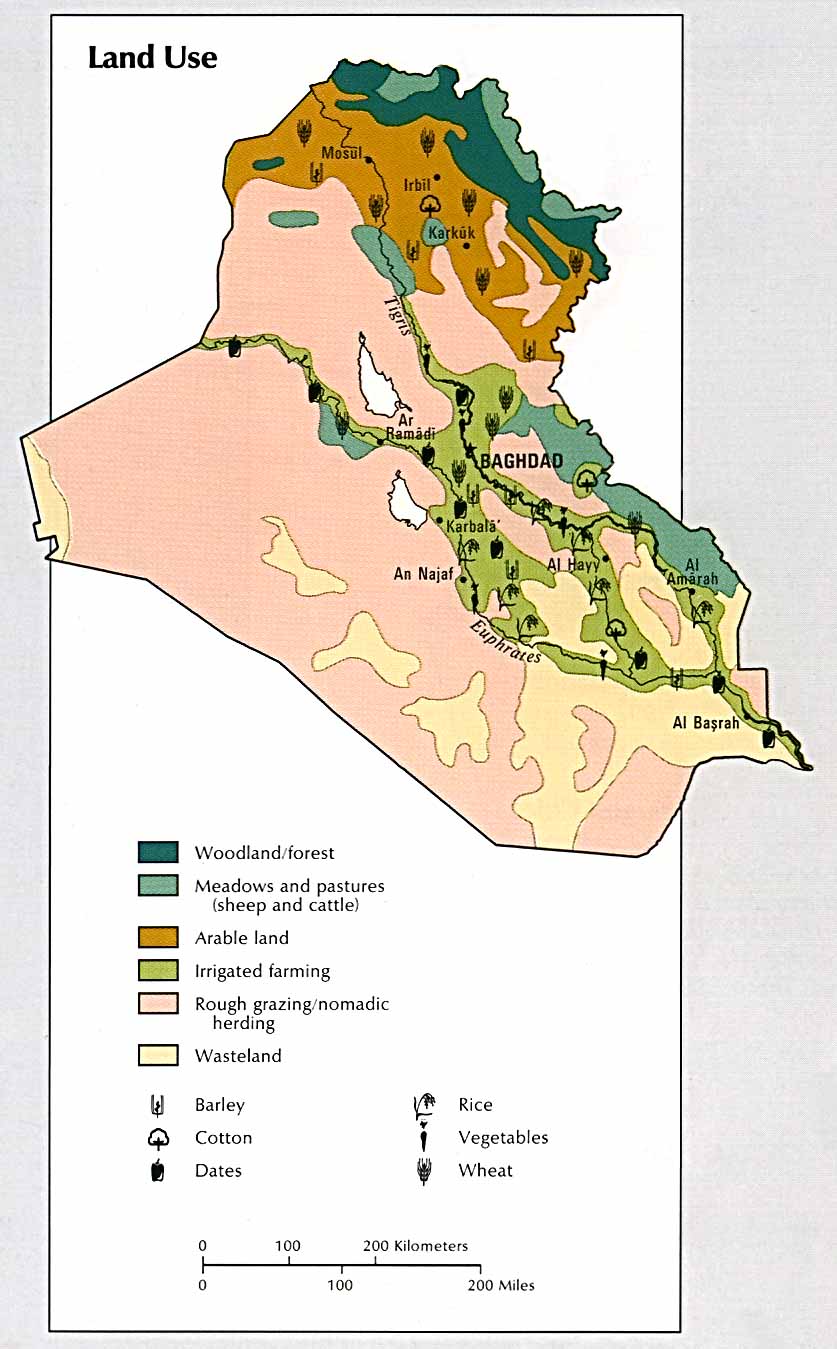
- Iraq: Land Use From the CIA Atlas of the Middle East, 1993 (111k)
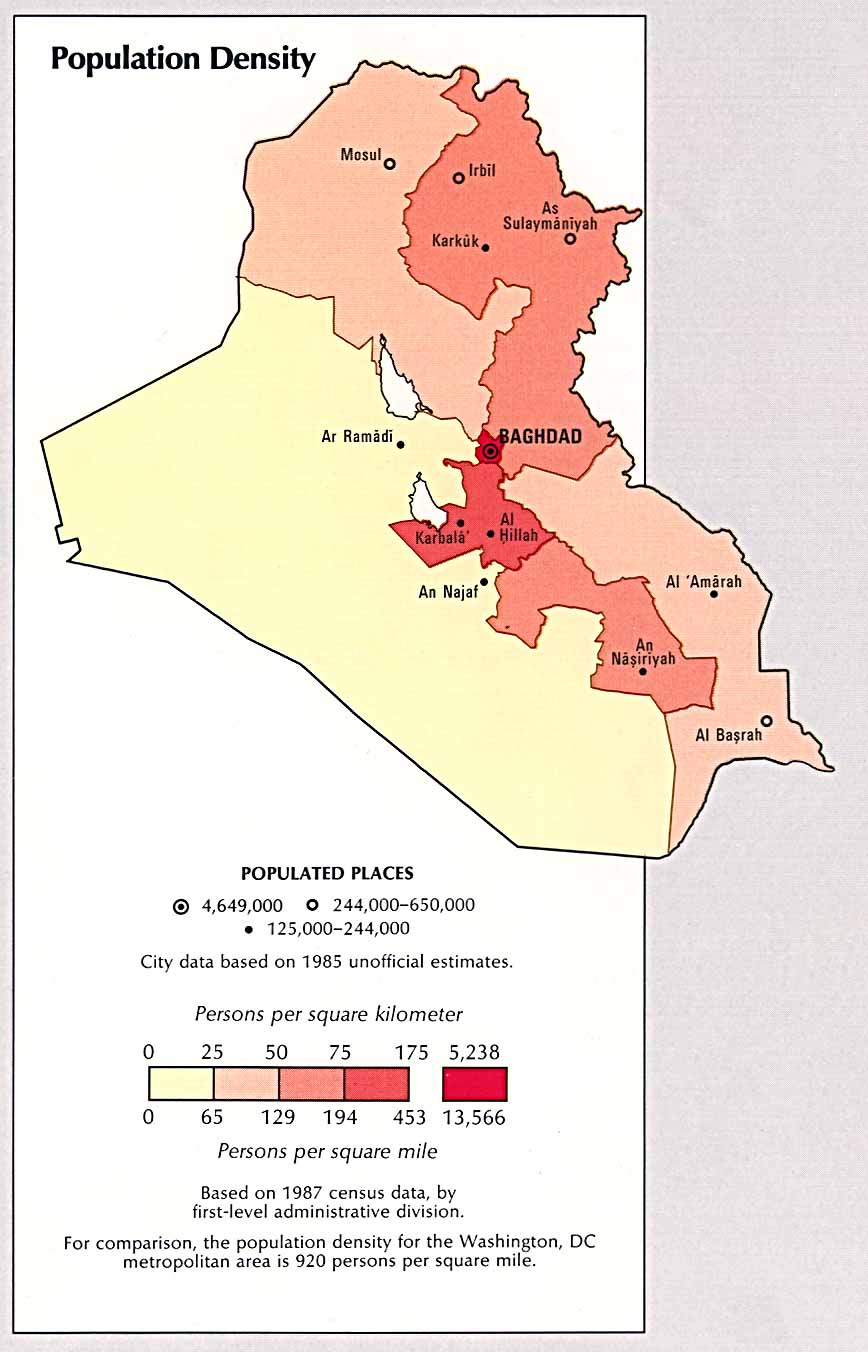
- Iraq: Population Density From the CIA Atlas of the Middle East, 1993(99k)
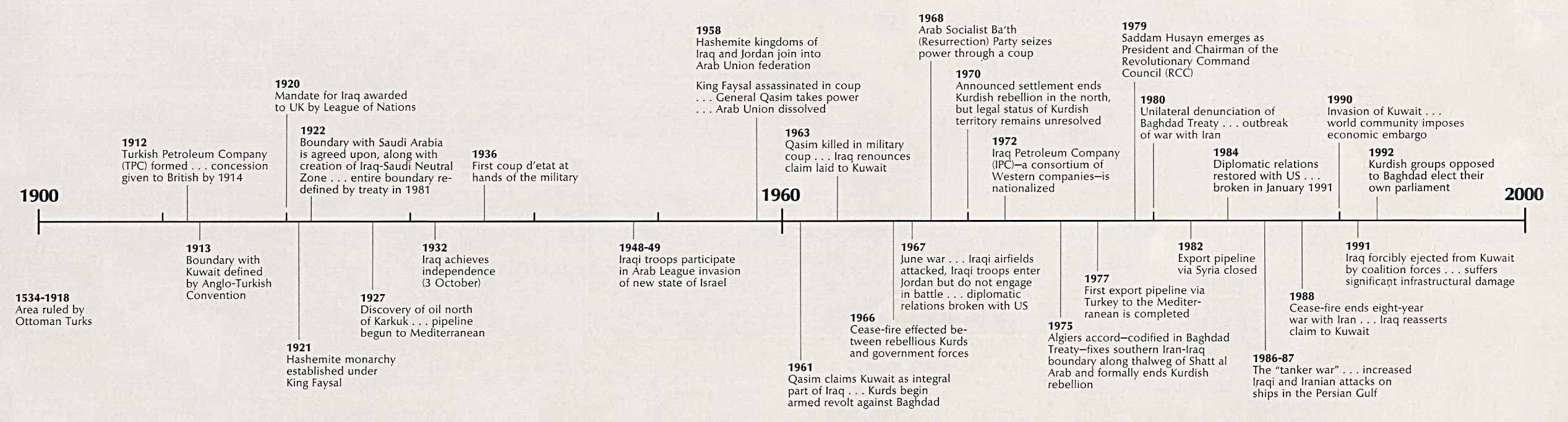
- Iraq: Time Line From the CIA Atlas of the Middle East, 1993 (210k) Chart
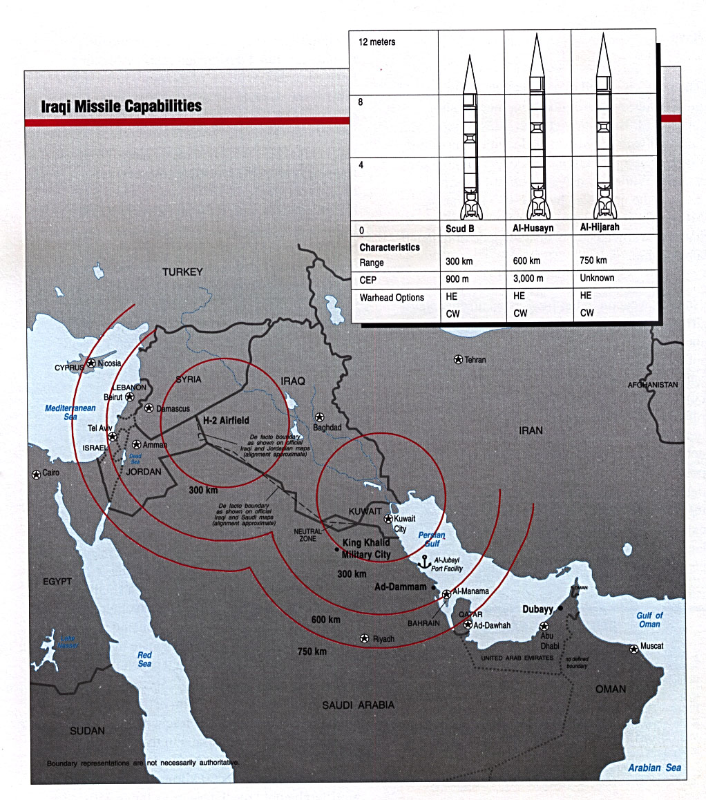
- Iraqi Missile Capabilities From Conduct of the Persian Gulf War: Final Report to Congress, U.S. Dept. of Defense, April 1992 (338K)
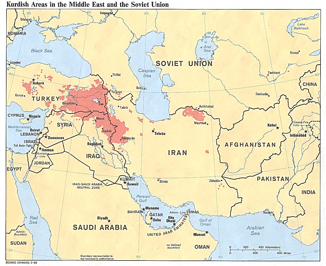
- Kurdish Areas in the Middle East and the Soviet Union 1986 (254K)
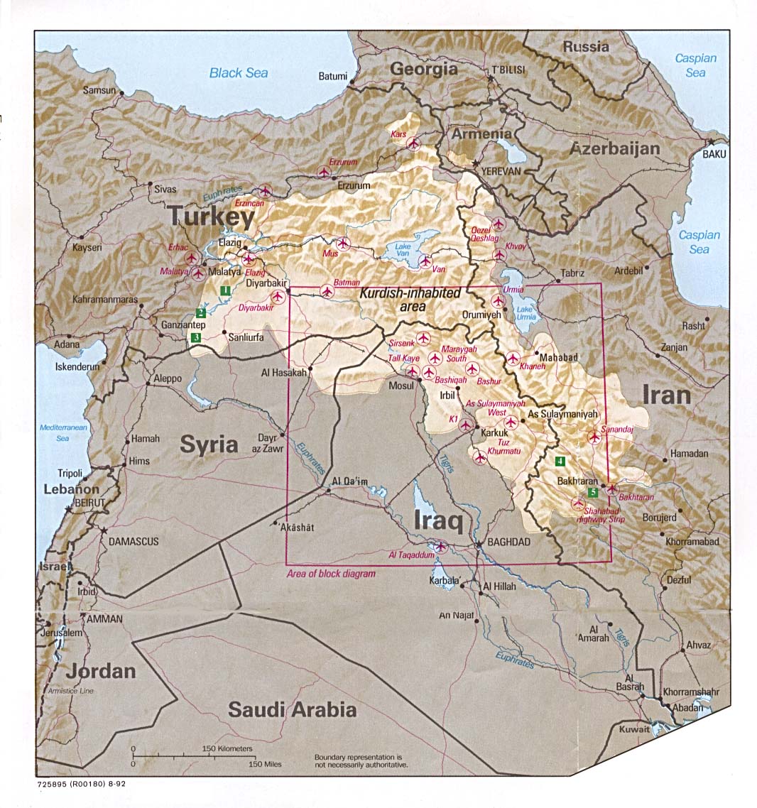
- Kurdish Lands (location map) 1992 (235K)
Iraq Maps on Other Web Sites
3
posted on
09/14/2001 4:47:18 AM PDT
by
vannrox
To: John Valentine
bump
4
posted on
09/14/2001 4:47:35 AM PDT
by
Zorobabel
To: vannrox
5
posted on
09/14/2001 4:48:25 AM PDT
by
vannrox
To: John Valentine
IRAQ is behind this act, along with Bin-Laden.
To: John Valentine
Indeed, the possibility of Iraqi involvement was probably a line of inquiry that the Clinton White House was not interested in pursuing--although it could have been legitimately asked whether bin Laden alone really had the capability to carry out simultaneous bombings of two major U.S. targets.Not surprising....
Glad to see the WSJ bring Iraq into question in this cowardly act.
To: AppyPappy
I'll bet the farm that Saddam is behind this. You have to ask why this attack occurred under the Bush regime rather than under the Clinton regime. This could be explained by Saddam's desire for revenge against GH Bush's son.
To: Aquinasfan
Look at the thread where the US is already ruling out Iraq because it wants a coalition with Egypt and Jordan. I DON'T WANT A COALITION WITH EGYPT AND JORDAN! I DON'T TRUST THEM AT ALL. Egypt let the Aquille Lauro terrorists escape. We want these people for friends? They are the problem. During the Gulf War Jordan sided with SADDAM!! We want them in our coalition?
9
posted on
09/14/2001 5:11:35 AM PDT
by
rebdov
To: John Valentine
BUMP this one up after the lies told to the 9/11 commission.
10
posted on
03/28/2004 2:38:54 PM PST
by
truthandlife
("Some trust in chariots and some in horses, but we trust in the name of the LORD our God." (Ps 20:7))
Disclaimer:
Opinions posted on Free Republic are those of the individual
posters and do not necessarily represent the opinion of Free Republic or its
management. All materials posted herein are protected by copyright law and the
exemption for fair use of copyrighted works.
FreeRepublic.com is powered by software copyright 2000-2008 John Robinson
![Al Mawsil [Mosul]-Arbil Region, Northern Iraq (tactical pilotage chart)](http://www.lib.utexas.edu/maps/middle_east_and_asia/iraq_north_g4b_89.jpg)
![Husaybah [Qusaybah] and Iraq/syria Border (tactical pilotage chart)](http://www.lib.utexas.edu/maps/middle_east_and_asia/iraq_g4c_91.jpg)