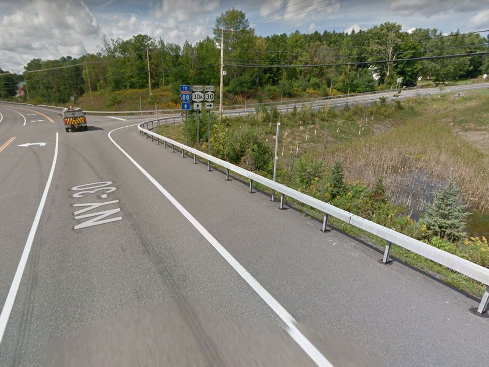
IN fact, I don’t think that’s the current state of the intersection. Dunno if this link will work but judging by the google maps aerial, the intersection had been improved to modern standards.
https://www.google.com/maps/@42.7003268,-74.3021404,138m/data=!3m1!1e3
That’s a great aerial shot of the intersection and surrounding area. Too bad I don’t have access to my normal tools. I would have took a cropped screen cap and posted it.
https://www.google.com/maps/@42.7003268,-74.3021404,138m/data=!3m1!1e3