
MtnClimber
Since Aug 21, 2004
|
|
MtnClimber
Since Aug 21, 2004
| |||||
|
| ||||||
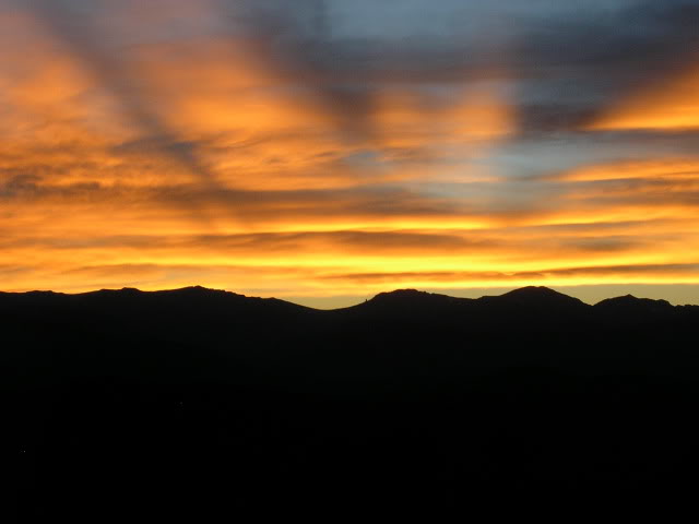
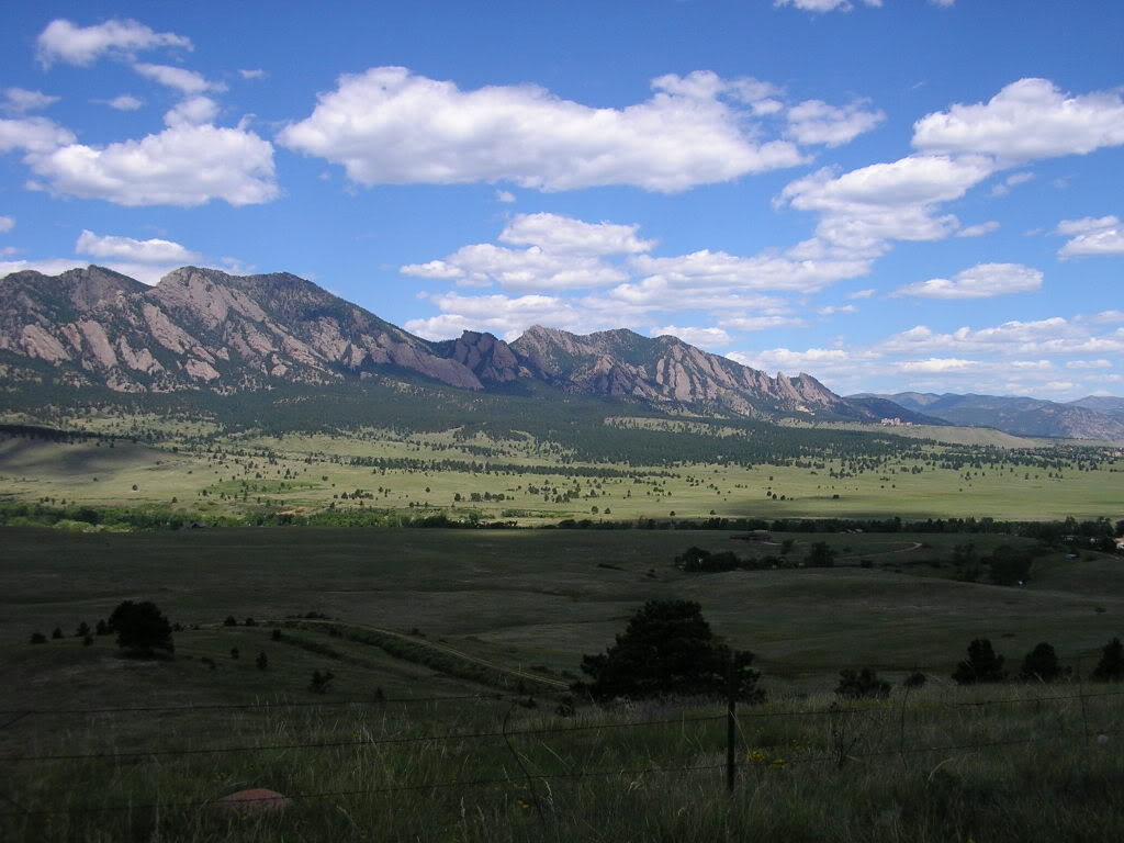


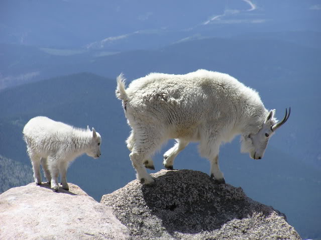

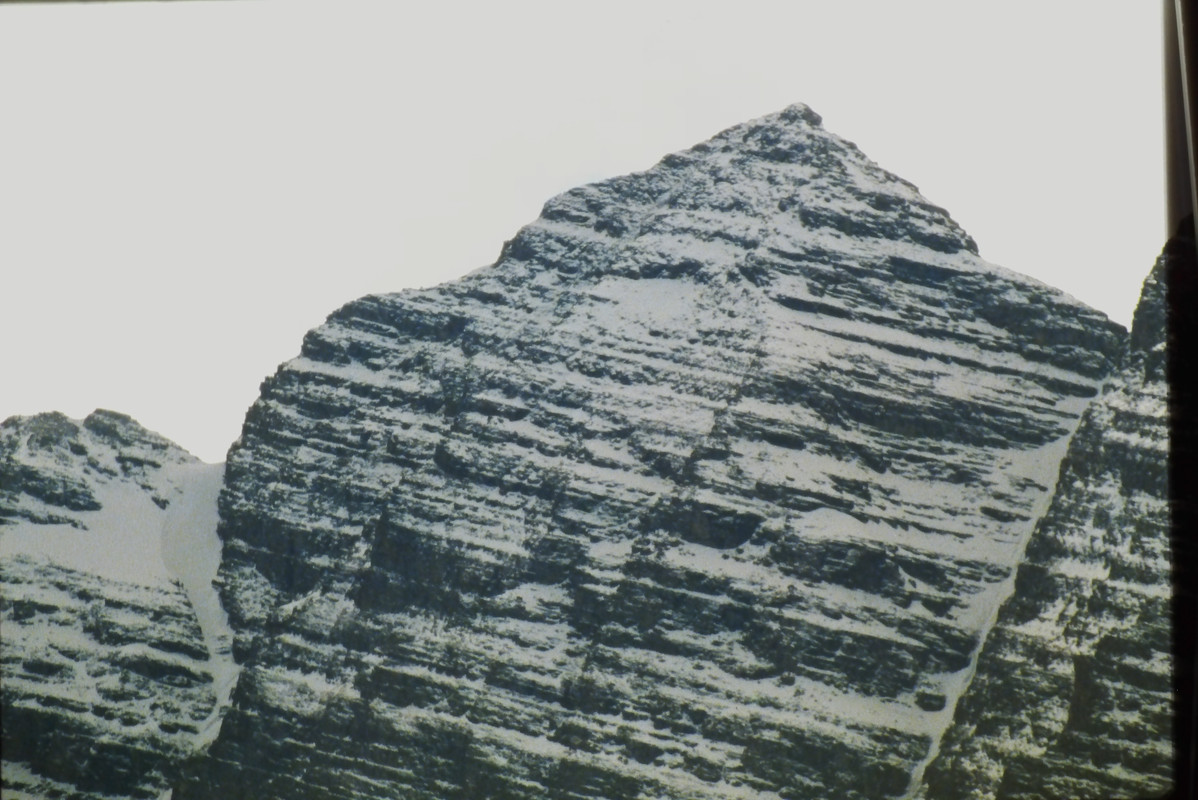

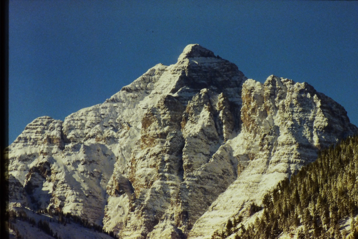
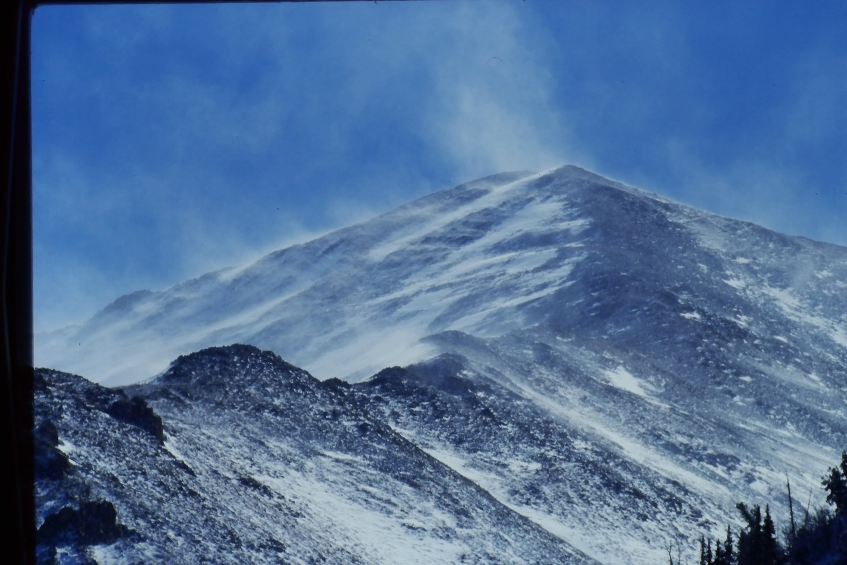

I travelled here first to do some hiking and trail running at 9,000 to 10,000 ft elevation to acclimate since I lived in Florida at the time. This is a ski resort in winter. Next I would travel across the Andes range to Mendoza, Argentina to meet the rest of the group which were mostly friends from Colorado.
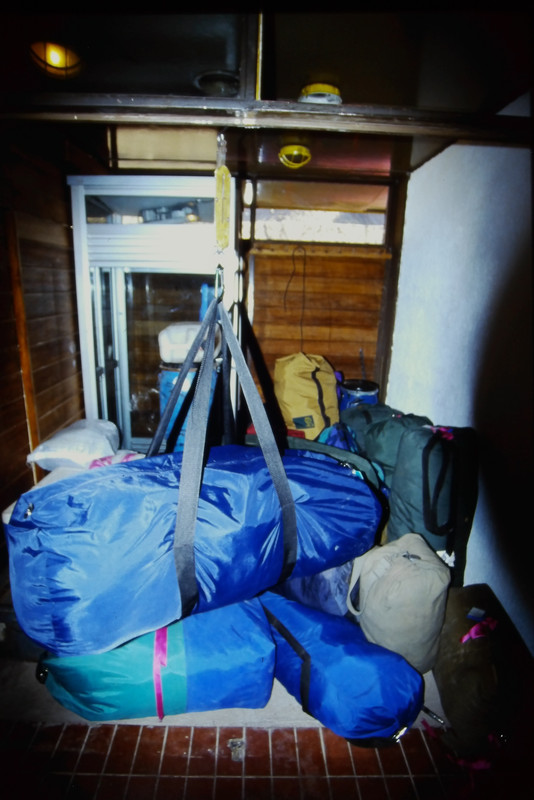
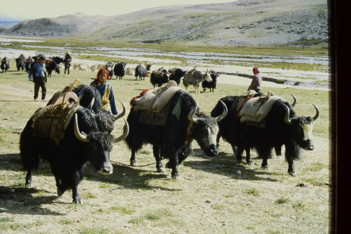
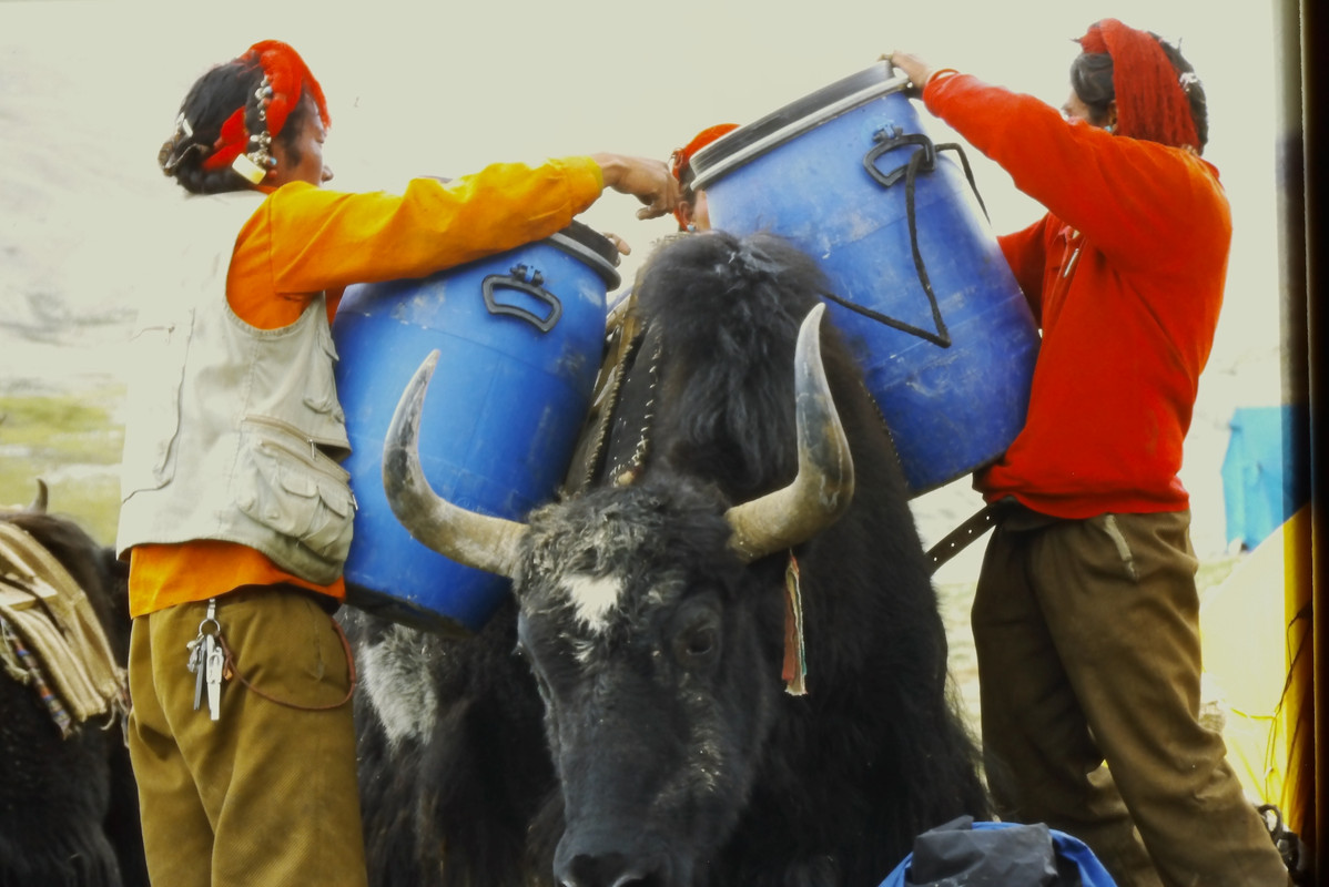
After shopping for about three weeks of provisions in Mendoza, getting climbing permits and arranging for mules and mule handlers (for gear transport to base camp) we travelled to a small hostel to sort and weigh gear. There are rules for load balancing and max total weight for each mule load. Anything we could not fit into duffel bags within the weight for the number of mules we hired … we had to pack in ourselves. Our goal was a limit of 150 lbs per person total for gear and food. We would need to pack in about 40 lbs per person in our own backpacks.
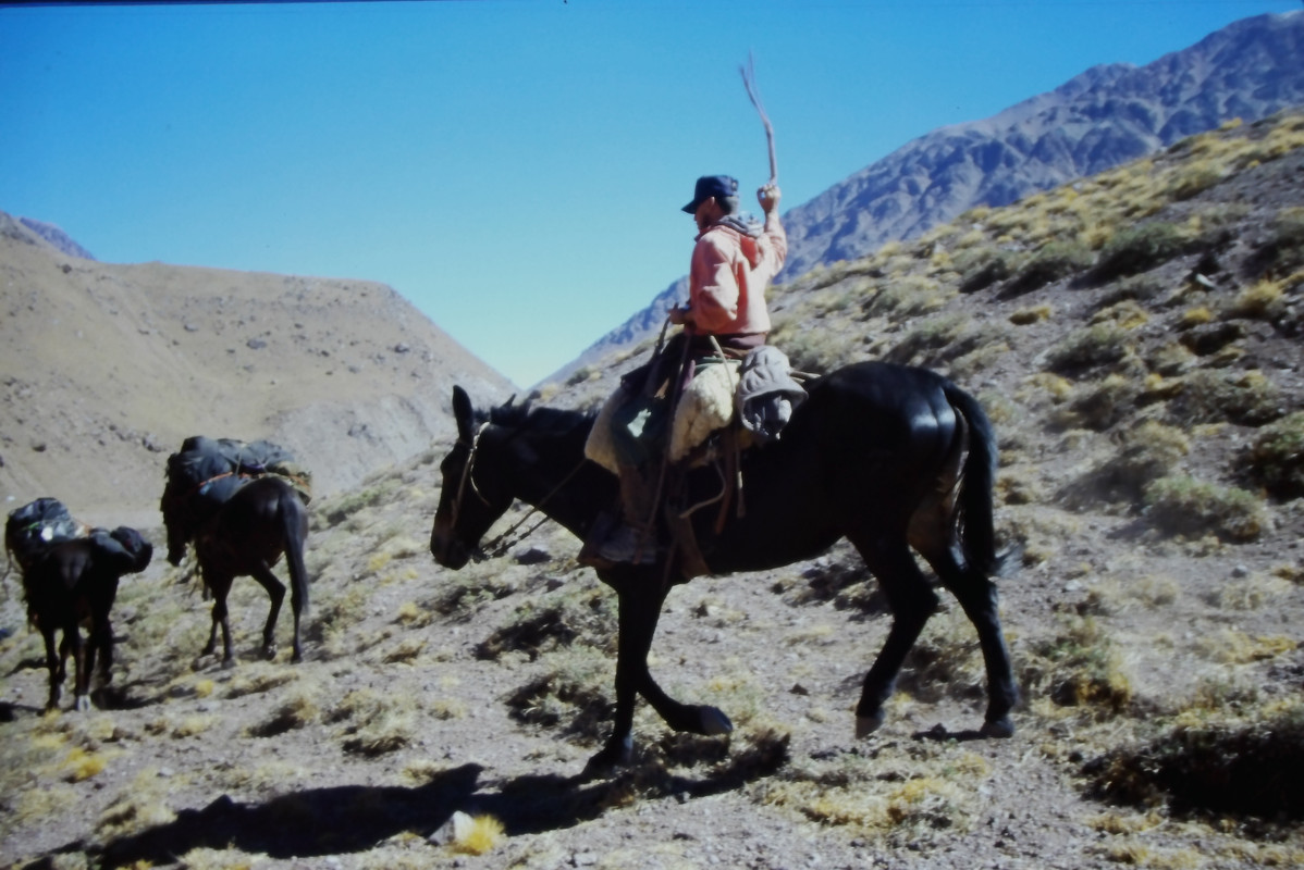
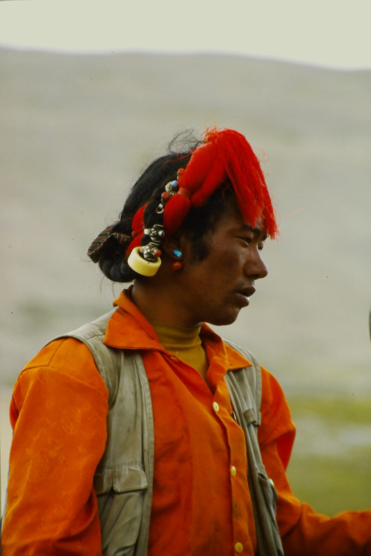
A truck from the hostel dropped us and our gear on the side of the road to wait for the mules and their handlers to show up. A little way in from the road was a ranger checkpoint. We were issued several numbered trash bags which we were required to bring back full or there would be harsh penalties. Base camp was about 30 rugged miles, three days and five river crossings away. A park ranger in a tent at base camp would radio for the mules to return when we were ready to leave.
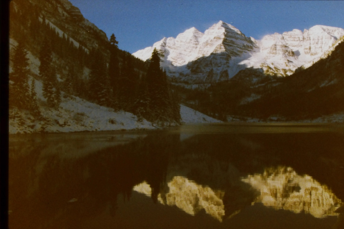
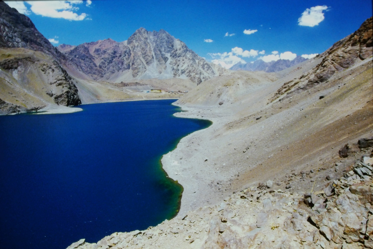
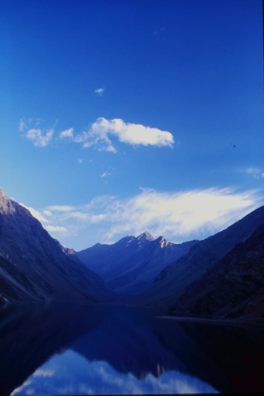
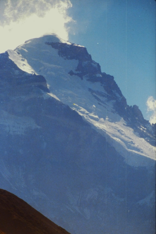
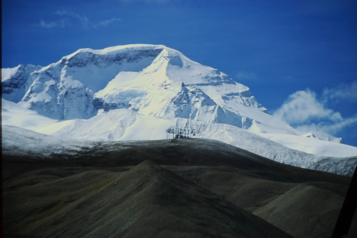
At the end of the second day, we could finally see Aconcagua. We had made a river crossing that morning and followed the river to this point. We would not be able to cross the river until morning when the glacier melt slowed the volume below the rushing torrent that it was in the afternoon. This photo is from the third morning with a reflection of Aconcagua in a pool left when the river receded overnight.

The glacier was named after the Polish expedition that was the first to climb this route in 1934. Unfortunately most of these climbers lost their fingers to frostbite.
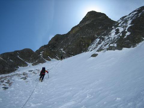
The first task would be crossing this river which is formed from the glacier melt from numerous mountains to the north. In the morning it is tricky. In the afternoon you can hear large boulders being rolled downstream under the water. The Aconcagua glacier melt river intersects on the other side from the approach camp 2. We cross the Aconcagua drainage three times later on the third day due to cliffs with no shoreline. This drainage was smaller and we would be able to cross later in the day. To do a crossing we removed our boots and put on sandals and then put the boots back on at the other side. The water was ice cold and it took a lot of determination to wade into it.
![]()
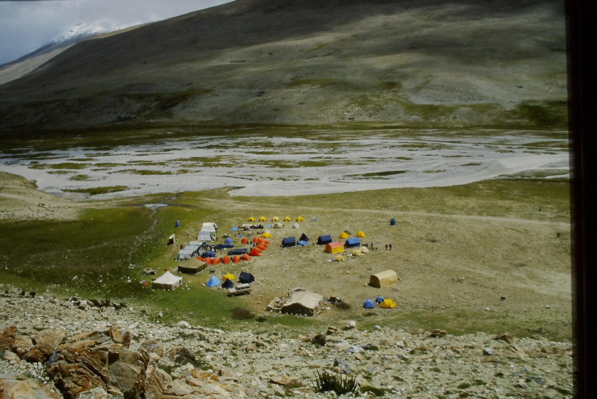
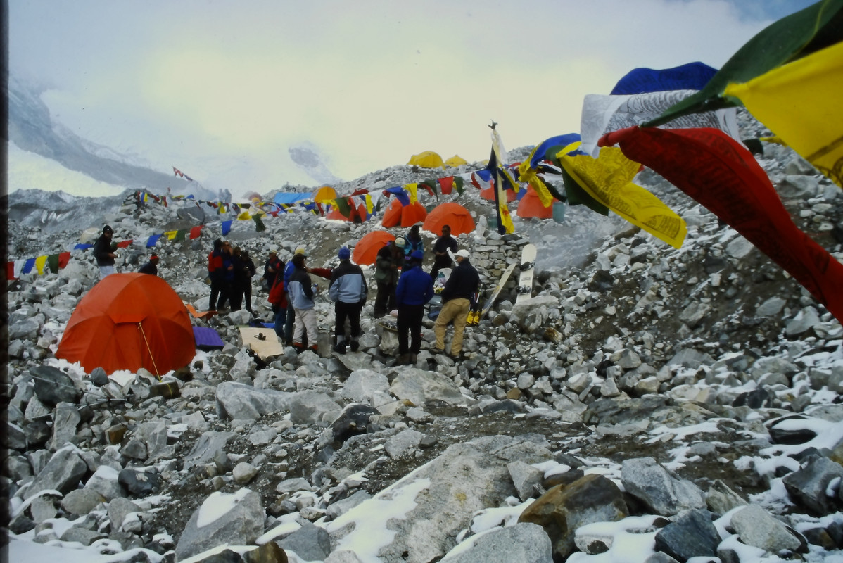
We arrived in the afternoon of the third day. We checked in at the ranger’s tent, showed our permits and gave him our planned schedule. Then we set up tents and started sorting gear and food that the mule handlers had left in a pile. The fourth day would be a rest day and a planning day. .jpg )
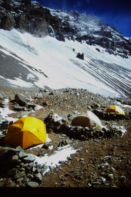
We planned to do the traditional approach for this route with Base Camp, and then Camp 1 and Camp 2 at planned elevations on the route. With a weight of 150 lbs per person there was a lot to move to establish a higher camp (though getting lighter each day and with some food and stove fuel being stashed near Base Camp and covered with rocks for the trip back).
.jpg)
The overall plan to establish Camp 1 from Base Camp was to do a first load carry of food and fuel amounting to about half the weight (60 to 70 lbs) to the Camp 1 area, unload and stack rocks on top to keep things from blowing away, and return to base camp. The next day would be a rest day. The third day would be a carry of everything remaining such as tents, sleeping bags, clothing, remaining food and stove fuel. Camp 1 would be set up and rocks would be stacked around each tent for a wind break. The following day would be a rest/acclimation day.
All went according to plan for the establishment of Camp 1 except that the wind picked up and became really horrible on the second load carry. It was “blow you off your feet” horrible. Luckily this part of the mountain did not have any vertical exposure.
.jpg)
We used a pulse-oximeter and recorded the measurements in our journals every morning. With every move higher all of us saw our O2 levels drop and then come back up. Water at Base Camp and below was filtered and boiled river water. Water above Base Camp was melted ice from the glacier that was then filtered.
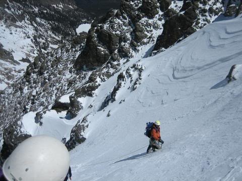
The same process was used to establish Camp 2 as was used to establish Camp 1, but the altitude made it much harder. The loads were getting somewhat lighter, but it did not feel like it.
.jpg)
After a rest day with good weather a storm moved in. We were pinned in our tents for two days with minus 25F temperature, snow and what looked like 60 mph wind. The noise made it hard to talk inside the tents. The rest was welcome though
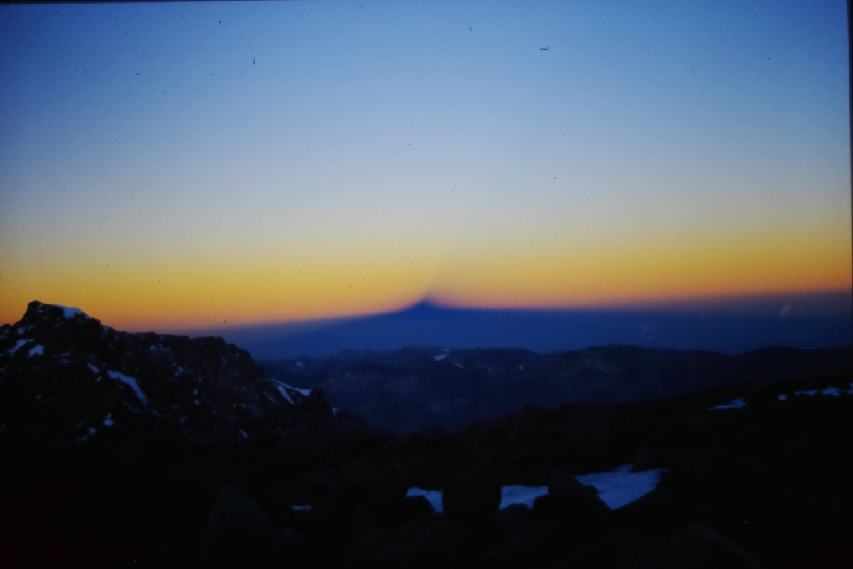
During the storm we decided that if we got a weather break we would try a summit attempt as soon as possible. In the afternoon of the second day of the storm the wind died down and we decided to go for it with a 3 a.m. start which meant getting up at 2 a.m. to eat and get ready. The lower part of the glacier was covered with a thin layer of gravel and rocks, but from Camp 2 to the summit ridge was steep ice. It would be ropes, ice axes and crampons until the summit ridge near the top.
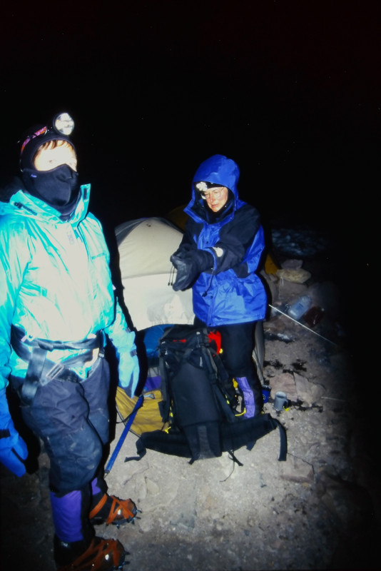
One person was having O2 saturation issues and was not going any higher. Another person was having altitude sickness issues after several hours and another team member volunteered to be his climbing partner to go back to Camp 2. Now only six of us were left and we continued. We were slowing down due to the exertion at this altitude.
I got in a rhythm pacing how many breaths I took per step. First it was three breaths per step and then it was four. It was like slow motion, but we made steady progress. And then we were on the summit ridge with only a short distance left to go. The crampons came off, we unroped and it was easier to walk, though the ridge was pretty narrow and steep on each side.
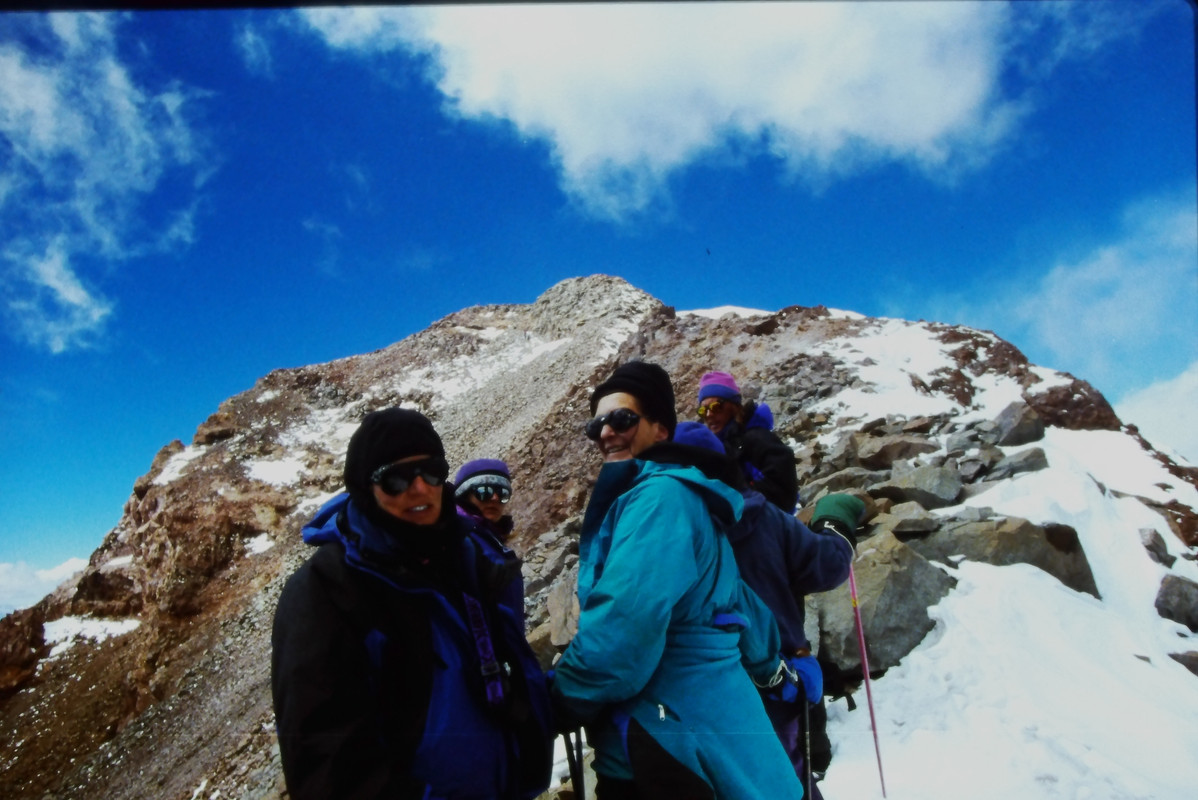

And then we were at the summit. It had been 15 days since we left the roadside with the mule handlers. I took out my mini-tripod, set up my camera on timer mode and ran back quickly enough to be in for this summit photo. I am standing at the left. It was 4 p.m. and we had been climbing for 13 hours. And we still had to make it back to Camp 2
.jpg )
We did make it back to Camp 2 at 2 a.m. and it had been 23 hours since we left. The person with O2 problems made it down to base camp and felt great at the lower elevation of 14,000 ft. We made it down from Camp 2 to Base Camp in one day with very heavy packs The two people who had turned back were upset with themselves thinking they should have stayed at Camp 2 and tried again after a good rest. And then they decided it would be a good idea if they tried again! They looked at the departure date for their flight back to Colorado and decided that they could make it if they went very light and fast. They picked the smallest and lightest tent that our group had, took one of our trash bags and started weeding out unneeded weight. They headed out the next morning and we waited for the mules to show up. We got back to the hotel in Mendoza, Argentina with four days until our airline departure if I recall correctly. On the last day we were still waiting for the two who had made the second attempt. With only about an hour until we needed to leave for the airport they showed up. They only had time to take a shower and pack before we all went to the airport, but they had made it to the summit by going from Base Camp to Camp 2 and then to the summit without even a rest day. They did not have time to wait for the mules so they packed everything the 30 miles out to the road and hitched rides back to the hotel.
The End of the Cerro Aconcagua Expedition
![]()
visited 37 states (74%)
Buy Douwe's Machine Learning Book
visited 20 countries (8.88%)
Create your own visited map of The World or another interesting project
Number of Views of the MtnClimber Home Page since April 17, 2012
Countries viewing the MtnClimber home page since September 20, 2015