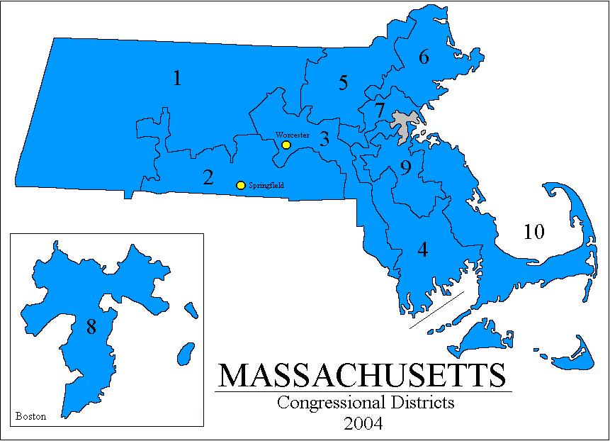
Or MASS. We have 9 Congresscritters, all 'Rat. This is a deeply 'Rat state, however, there are sections that are conservative, and but for Gerrymandering, one maybe two of the nine could be Republican.
Posted on 11/21/2016 7:22:19 PM PST by SMGFan
A panel of three federal judges Monday struck down state house district maps drawn in 2001 by Wisconsin's Republican controlled legislature, finding the resulting districts so blatantly partisan that they denied Democrats a fair shot at electing candidates of their choosing.
The case could now go directly to the U.S. Supreme Court, where Democrats hope it will provide the justices a legal test that has for decades proven to be elusive — a way to tell how much partisanship is too much.
"There is no question," said the 2-1 ruling, that the map drawn by Wisconsin's legislature "was designed to make it more difficult for Democrats, compared to Republicans, to translate their votes into seats."
(Excerpt) Read more at msn.com ...
Or MASS. We have 9 Congresscritters, all 'Rat. This is a deeply 'Rat state, however, there are sections that are conservative, and but for Gerrymandering, one maybe two of the nine could be Republican.
Its impossible given 60-some plus counties out of 72 are die hard republican counties consistently and historically.
The only places it comes into concern is around Mlwaukee, madistan, green bay and kenosha-racine area.
It would be helpful if states were forced to only draw lines using present and existing county lines, so that an entire county were in district (not bits and pieces of six countries). I think this is the inherent weakness of the present system. Go tell ten guys on some street that half live in district X and half in district Y.
Bookmark
California has been gerrymandered to include several million Mexican voters.
It is a statistical measurement of how many votes in each party were wasted, either because they were so diluted in a district they could never achieve a majority or because they were so concentrated in a district that they were in excess of what was needed to get a majority.
At some point, this statistical measure will run afoul of the court's requirements for the creation of minority majority districts. The Wisconsin legislature was scolded for "packing" Democrats in a few districts. On the other hand, the court requires that minorities must be "packed" so as to assure them control of a few districts.
Which is it to be, O Lords of Jurisprudence?
A system to create congressional districts.
1) determine the number of districts
2) divide the number of voters in the state by the number of districts to obtain an average target
3) starting with the largest city by voter count:
a) from the city hall steps, draw a circle with a radius large enough to encompass enough voters to equal the target number.
b) align the border to either streets, property lines, or zipcode boundaries.
c) recount the number of voters within the proposed boundary to assure that the total number of voters is within +/- 2% of the target. Adjust the boundaries as needed to reach that target.
d) Subtract the target from the cities population and use the new number as the city population. Sort the cities by their new population counts.
e) Repeat steps A - D until there are no cities with a population greater than the target.
F) once there are no more cities with a population greater than the target. Use the same process to assign by the largest count of voters within the counties (minus the city voter count).
None of the liberal judges seem to care or remember that with the exception of the 80th Congress, the House of Representatives was solidly democrat from 1932 to 1994. No partisan districting there, I’m sure.
SMGFan,
Thanks for the link. Look at Stevens Point and Wassau. Both of those cities are cut up in amazing ways. I don’t know if it is “clearly” unconstitutional, but it is clearly complicated and a bit ridiculous.
Go Trump! Take no prisoners! Remember Goliad!
Oldplayer
That is not a place for the courts.
The dissenting judge, a GWB appointee, got it exactly right.
This decision was for state congressional districts, not U.S. congressional districts, right?
I think it was for state legislative districts.
Again, political questions are not within the province of the courts to address.
Voters can do that at the ballot box.
Seems like one of the 3 judges thought there might be a question.
My very first thought, too.
This is over a 2001 map? Weren’t the districts re-drawn again after 2010?
Will this mean that we can take Maryland’s Congressional district map to court?
Yup, that is my question too. OTOH, the link says MSNBC so it might be a misprint, and really be 2011. But I won’t give them a hit by clicking on it.
Indeed - geographically more squared shaped with a lack of “spider web” style districts you typically see with gerrymandering.
And needs to be a good one. The 2 judges in this case were a Reagan and a Carter appointee - the dissenting judge was a Bush (W) appointee.
It should indeed be 2011.
Disclaimer: Opinions posted on Free Republic are those of the individual posters and do not necessarily represent the opinion of Free Republic or its management. All materials posted herein are protected by copyright law and the exemption for fair use of copyrighted works.