“Central Australia” is a huge, vast area, but there are towns and stations even in all that isolation. I would appreciate the name of the nearest town so I can find it on my maps of Australia. “Central Australia” is like saying the US “Midwest.” Or, more appropriate, “the Sahara.” Cheers from South Central Texas
The two impact areas are located in the East Warburton Basin and the WestWarburton Basin, and a quick search does not reveal any large towns nearby -which is usually the case in the never-never.
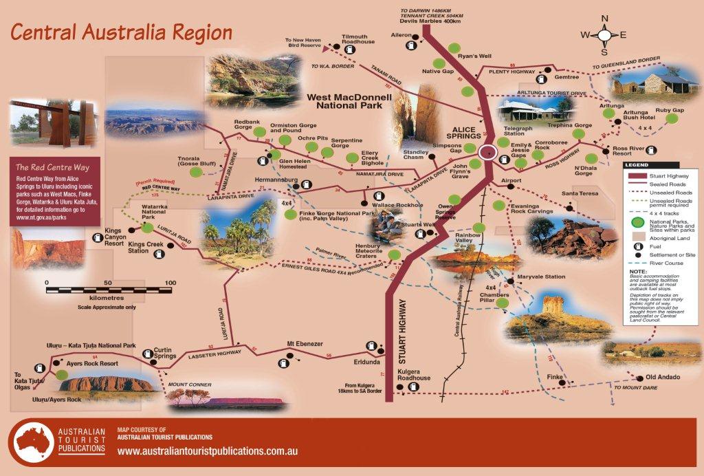
You might do best by looking around the area of the Strzelecki Regional Reserve, right where the borders of the Northern Territory, Queensland, South Australia, and New South Wales come together. Great lot of area there so you might have a bit of looking to do before you can locate them.
Sturt National Park is in the general area as well.
You should be able to orient yourelf quite well that way, having a useful scale.
If you don’t mind doing a bit of reading, download the following pdf which has more info about the general area and a few more maps:
http://www.santos.com/library/aridzone.pdf