Ahoy! I've navigated with an AM radio for a direction finder, at night, in fog. (Reception is best when the back of the radio points toward the antenna, for you land lubbers.) Thank heavens the Chesapeake Bay is soft mud!
This is going to be a fun thread.
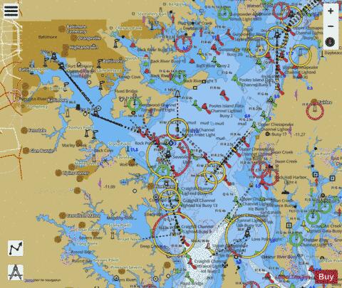
I also love maps and always sail with paper charts.
It is astonishing to me how clueless so many sailors are regarding anything that was commonplace knowledge...
I have an acquaintance who looked only at his GPS plotter as he ran a big trawler up the Delaware not long ago...
As if the plotter and AIS were going to tell him about the actual world around him, too.
I sat beside him and looked at his tiny pupils tracking the screen...
No lookout...
Spooky.
Ahoy! I've navigated with an AM radio for a direction finder, at night, in fog. (Reception is best when the back of the radio points toward the antenna, for you land lubbers.) Thank heavens the Chesapeake Bay is soft mud!