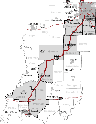
Did you ever realize that the preliminary "route plans" for Interstate highways are displayed on maps with a 3/16 wide felt tip pen?
I think that makes the "route" about 1/4 mile wide on a typical Texas 5'X5' map. On the Indiana map the planning route is relatively narrower, coming in about 1/16 of a mile in width.
Jere are some Texas vs. Indiana maps to give you the idea: