To: Physicist
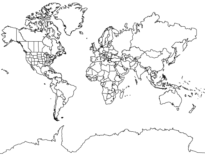
The article suggests that the distortion is due to the inherent problem of mapping a globe onto a flat surface. The center of the map is in proportion, and the closer things get to the edge, the more distorted they are.
8 posted on
10/08/2002 9:22:06 AM PDT by
ffrancone
To: ffrancone
The article suggests that the distortion is due to the inherent problem of mapping a globe onto a flat surface. The center of the map is in proportion, and the closer things get to the edge, the more distorted they are. I'm not sure I buy that either. The classic Mercator projection maps do distort the sizes of things, but not as you move to the east or west, but rather to the north and south - the closer you get to the poles, and the farther from the equator, the more distorted the relative sizes of the continents are. Hence, the well-known problem of Greenland appearing to be as large as the entire continent of Africa, which it certainly is not. But there's no real distortion as you move along the equator from east to west, or west to east...
To: ffrancone
North and South America don't look merely distorted to me. They each look as if a portion of the east coast was mapped, and the shortest possible west coast drawn in to hook it together. Since they knew of the existence of the Pacific ocean (coming from the other direction), they knew the western continents couldn't extend westward indefinitely.
FreeRepublic.com is powered by software copyright 2000-2008 John Robinson