Posted on 06/14/2021 6:05:28 PM PDT by Roman_War_Criminal
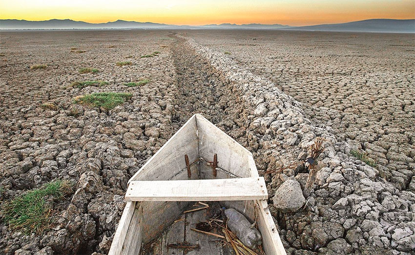
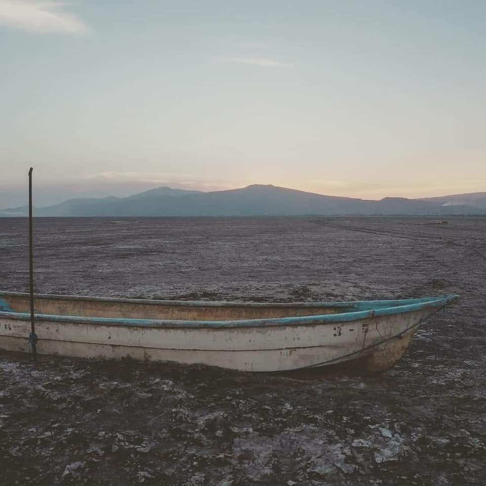
Drought has dried up what was Mexico’s second-biggest lake, destroying a once thriving fishing economy in Michoacán.
The scale of the problem? Lake Cuitzeo should have 800 million cubic meters of water, but today it doesn’t even have 200.
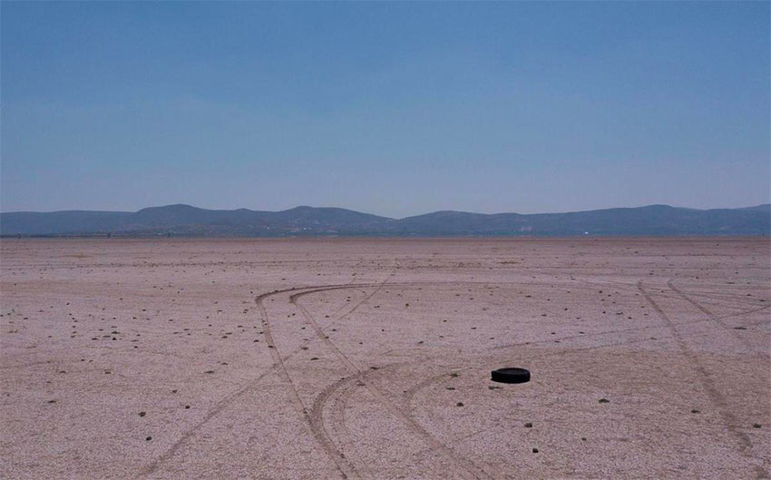
Now, the more than 300-square-kilometer reservoir has become a cemetery for fishing boats and a shortcut for motorists to reach Morelia, the state capital of Michoacán.
The water disappearance also creates frequent and prolonged dust clouds that sometimes reach nearby communities, affecting health of residents, as well as causing allergies, respiratory illnesses and gastrointestinal complications from the bacteria they transport.
Everything has started back in 1941, when the government constructed the Cointzio dam, leading to the disappearance of more than two-thirds of the lake’s water.
Then the building of two highways 30 years ago split the lake into three parts.
More destruction factors are:
Deforestation increased water demand waste from nearby giant pig farms and industries.
Meanwhile, federal authorities have not intervened. leading to the collapse of the fishing industry. According to official estimates, fishing yields just 5% of what it used to in the 1990s. Moreover, from the 19 species of fish documented in 1975, only six remain.
The collapse of the fishing industry has caused a surge in migration to the United States.
In summary, drought, pollution and deforestation led Lake Cuitzeo, the second-largest in Mexico, to the verge of devastation. Lack of rain deprived the whole area’s wildlife and population of water. Locals say it affects their lives tremendously, not having a place to fish or a way for their cattle to drink.
They should do what Israel does.
Plant trees. Lots of em.
You call that a boat?
It is a devastating sight, but knowing the Detroit engineers started on it back in the 40's .... well .... there y'go.

This is supposed to make us guiltily believe that this is caused by “climate change” as a result of American greed and the oil and gas industry, when in fact it has been caused by diverted rivers, ill-advised dam and road construction and undoubtedly excess pumping from the lake (just like on the Rio Grande).
Climate change is causing the immigration crisis! The propaganda continues.
We should ship all those wet backs back they could wring the out and fill it back up
Didn’t we all warn them:
“Don’t drink the water!” ???
The piece is full of leftist propaganda with faulty logic, Voodoo physics and environmentalism. For example, dams don’t make lakes smaller without making other lakes larger.
Poor economic, building and business decisions are a separate topic. For example, caliche is a more suitable building material than wood in such places. And farms should be surrounded by planted trees.
In other words, they diverted the water someplace else.
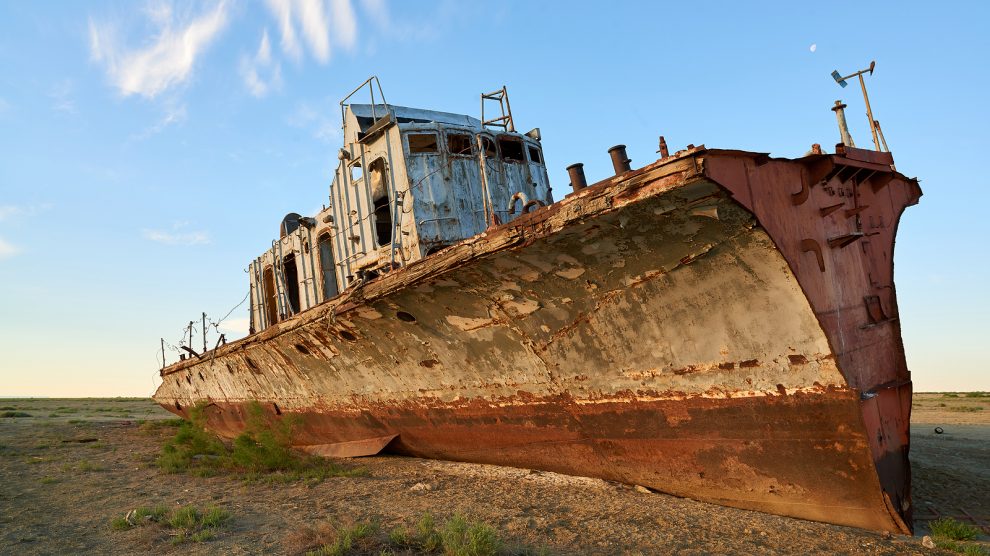
***This writer should check out the Aral Sea some time.***
LOL. I was thinking the same thing. Good thing you beat me to it as I now don’t have to post.
I believe Owens Lake in California used to be a big lake, before LA siphoned off all the water for LA swimming pools.
Something else that’s obvious in the photos.
Lake Cuitzeo
Average depth: 2 ft 11 in. (1998).
Unless it escaped our gravity and dispersed into space as ice crystals, it’s either in the atmosphere in vapor state, in the water table in the ground, or in another location of standing surface water.
Proof for periodic droughts is evidenced in central and south America to about 1200-1000 years ago: The Mayan civilization, cultural practices aside, collapsing in part because of rapidly rising Holocene sea levels forcing agriculture inland, a doubling of the population and a halving of rainfall changing humidity levels.
“We found high probabilities of drought occurring specifically during the onset (~750 to ~850 CE) and the end (~950 to ~1050 CE) of the TCP....Note that recorded Colonial-period accounts of later droughts (e.g., 1535–1560 and 1765–1773) ...lack of gypsum formation is likely a result of shorter duration and/or lower severity of these droughts, providing further evidence that the TCP was an unusually dry period for the Holocene on the Yucatán Peninsula.” (Study:
https://science.sciencemag.org/content/361/6401/498
“Tree ring archives indicate that agricultural droughts such as those that happened in the United States during the 1930s Dust Bowl era have occurred occasionally over the last 1,000 years, and climate model simulations suggest that droughts that may last several years to even decades occur naturally in the southwestern U.S.”
https://www.drought.gov/what-is-drought/historical-drought
Dude, why did you have to go and mess up a good sob story with science —
300 sq. km = 300 million square meters. Given a volume of 800 million cubic meters, that is equivalent to an average depth of less than THREE METERS.
In other words: Extremely shallow lake to begin with!
Regards,
Pretty cool (cool?) time lapse from space of the Aral Sea (most of it) drying up:
https://earthobservatory.nasa.gov/world-of-change/AralSea
One can always check out the Salton Sea too...
Disclaimer: Opinions posted on Free Republic are those of the individual posters and do not necessarily represent the opinion of Free Republic or its management. All materials posted herein are protected by copyright law and the exemption for fair use of copyrighted works.